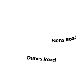
31 NONS RD
Owner Information
DESIMONE JOHN C TR
24 COMMONWEALTH AVE APT 6
BOSTON, MA 02116


Property Details
31 NONS RD is classified as a Single Family Residential (Cape).
The primary structure on this property was built in 1950. There are 4,806ft2 of built area within this property. There is 4,806ft2 of residential/living space within this property. This property is listed as having 10 rooms.
31 NONS RD is valued at $3,665,300. The land is valued at $1,846,400 and the structures are valued at $1,695,100. There is an additional valuation of $123,800 on this property.
31 NONS RD was last sold on Tuesday, April 19, 2011 for $1.
Assessment data from fiscal year 2020.
Flood Data
This property has multiple flood prone designations.
| Zone | Description | BFE | Area |
|---|---|---|---|
| AE | within floodplain | 11 | 0.41 (71.87%) |
| VE | coastal flooding with wave action | 13 | 0.16 (28.13%) |
This information is sourced from the FEMA National Flood Hazard Layer. See our full disclamer.
Broadband Internet Providers
| Provider | Type | Bandwidth (mbps) | |
|---|---|---|---|
| Viasat Inc | Satellite | 35 | 3 |
| VSAT Systems, LLC. | Satellite | 2 | 1 |
| HughesNet | Satellite | 25 | 3 |
| GCI Communication Corp. | Satellite | 0 | 0 |
| T-Mobile | Fixed Wireless | 25 | 3 |
| Comcast | Cable | 1000 | 35 |
| Verizon New England Inc. | DSL | 7 | 0 |
Broadband service provider data from December 2020.